|
|
C-Map Electronic Charts
C-Map Electronic Charts
Displaying 1 to 5 (of 5 products)
| Model No. |
Manufacturer No. |
Product Image |
Product Name |
Price |
| 145-NAC302 | NAC302 | 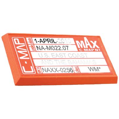 | C-Map Nt Cape Cod/Li/Hud River
Features: Tides and currents, Perspective view, Elevation Marina detail, Photos and diagrams, Points of Interest, C-Marina charts, coastal roads and land elevations. | $160.68
... more info

|
| 145-NAC303 | NAC303 |  | Nt Shinnecock Bay-Albemarle
Features: Tides and currents, Perspective view, Elevation Marina detail, Photos and diagrams, Points of Interest, C-Marina charts, coastal roads and land elevations. | $160.68
... more info
|
| 145-NAM018 | NAM018 |  | C-Map Max Lakes East
Features: Tides and currents, Perspective view, Elevation Marina detail, Photos and diagrams, Points of Interest, C-Marina charts, coastal roads and land elevations. | $103.87
... more info
|
| 145-NAM022C | NAM022C |  | C-Card Us East Coast/Bahamas
Features: Tides and currents, Perspective view, Elevation Marina detail, Photos and diagrams, Points of Interest, C-Marina charts, coastal roads and land elevations. | $172.76
... more info
|
| 145-NAM402 | NAM402 |  | Max Wide/ Pensacola Bay To G
Features: Tides and currents, Perspective view, Elevation Marina detail, Photos and diagrams, Points of Interest, C-Marina charts, coastal roads and land elevations. | $116.66
... more info
|
|